Best things to do in matterhorn

The cable car lurched upward through cloud cover, and suddenly the Matterhorn’s north face appeared—not gradually, but all at once, filling the entire window like a photograph someone had been holding back. I’d expected majesty. I hadn’t expected the vertigo of standing inside a moving box suspended above it.
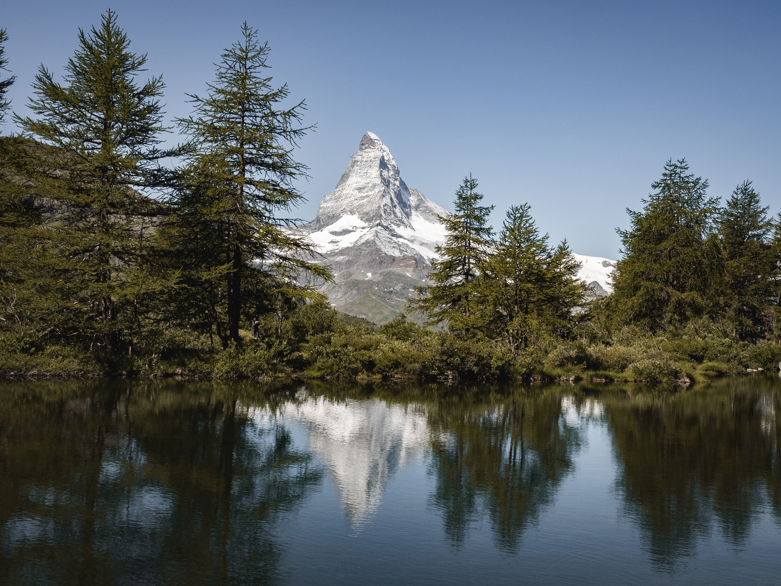
Most visitors come to Zermatt for one reason: to see this 4,478-meter pyramid of rock that dominates the Swiss-Italian border. But the Matterhorn isn’t just a view to photograph from the valley floor.
It’s a destination with cable cars that reach Europe’s highest elevations, hiking routes for every fitness level, and a specific set of logistics that can either unlock an extraordinary week or leave you frustrated and overspent.
This guide covers what actually works: which trails won’t destroy your knees, real prices in CHF, the cable car system’s quirks, and the one assumption that wastes most visitors’ time and money. Whether you’re climbing to 3,899 meters or hiking the car-free valleys below, you’ll find the details that separate a good Matterhorn visit from a genuinely memorable one.
The Matterhorn: Why This Peak Demands Your Bucket List
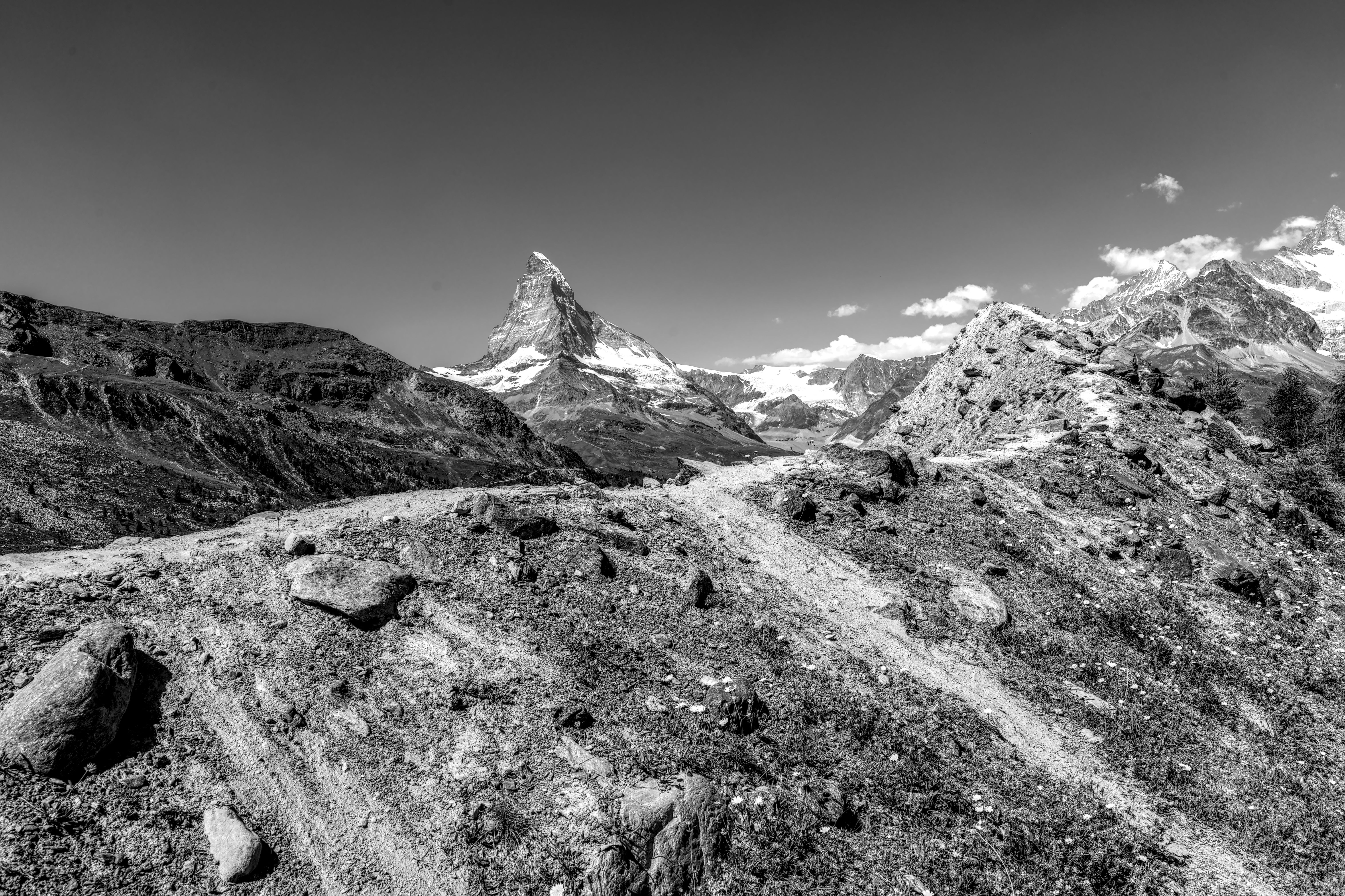
I watched it emerge through the train window as we climbed toward Zermatt—not gradually, but suddenly, like someone had placed a massive stone pyramid directly in front of us. The Matterhorn doesn’t announce itself politely. It dominates.
At 4,478 meters (14,692 feet), it’s not the Alps’ tallest peak, but it’s arguably the most magnetic, and the moment I saw it, I understood why mountaineers have been obsessed with it since Edward Whymper’s first ascent in 1865.
What makes the Matterhorn non-negotiable for your bucket list isn’t just its height—it’s its accessibility paired with genuine drama. Unlike many Alpine peaks, you don’t need to be a technical climber to experience it meaningfully.
You can ride cable cars to 3,899 meters, hike trails that circle it, or stand at viewpoints where the peak fills your entire field of vision. For actual climbers, the mountain offers a genuine test: it kills roughly three people per year, making it one of Europe’s deadliest peaks. That’s not hyperbole to scare you; it’s context. This isn’t a manicured tourist attraction pretending to be wild. It’s actually wild, and that’s why it matters.
The cultural weight is real too. The Matterhorn has appeared in more films, paintings, and postcards than almost any other mountain on Earth.
But here’s the thing most guides won’t tell you: seeing it in person erases all that. The photographs don’t capture the scale—how it seems to shift as you move around Zermatt, how the light changes its color from grey to rust to near-black depending on the hour. It’s humbling in a way that feels almost private, even when you’re surrounded by thousands of other visitors.
Plan for at least three days here. One day to acclimatize and explore Zermatt’s car-free village. One day for high-altitude cable car rides and viewpoint hikes.
One day—if weather permits and your knees cooperate—for a serious trail that gets you genuinely close to the mountain. The best time is late June through September, though September offers fewer crowds and clearer skies.
Expect to spend 150–250 CHF (Swiss francs) per day on food and lodging if you’re budget-conscious, and significantly more if you want comfort.
Matterhorn Glacier Paradise: Europe’s Highest Cable Car Experience
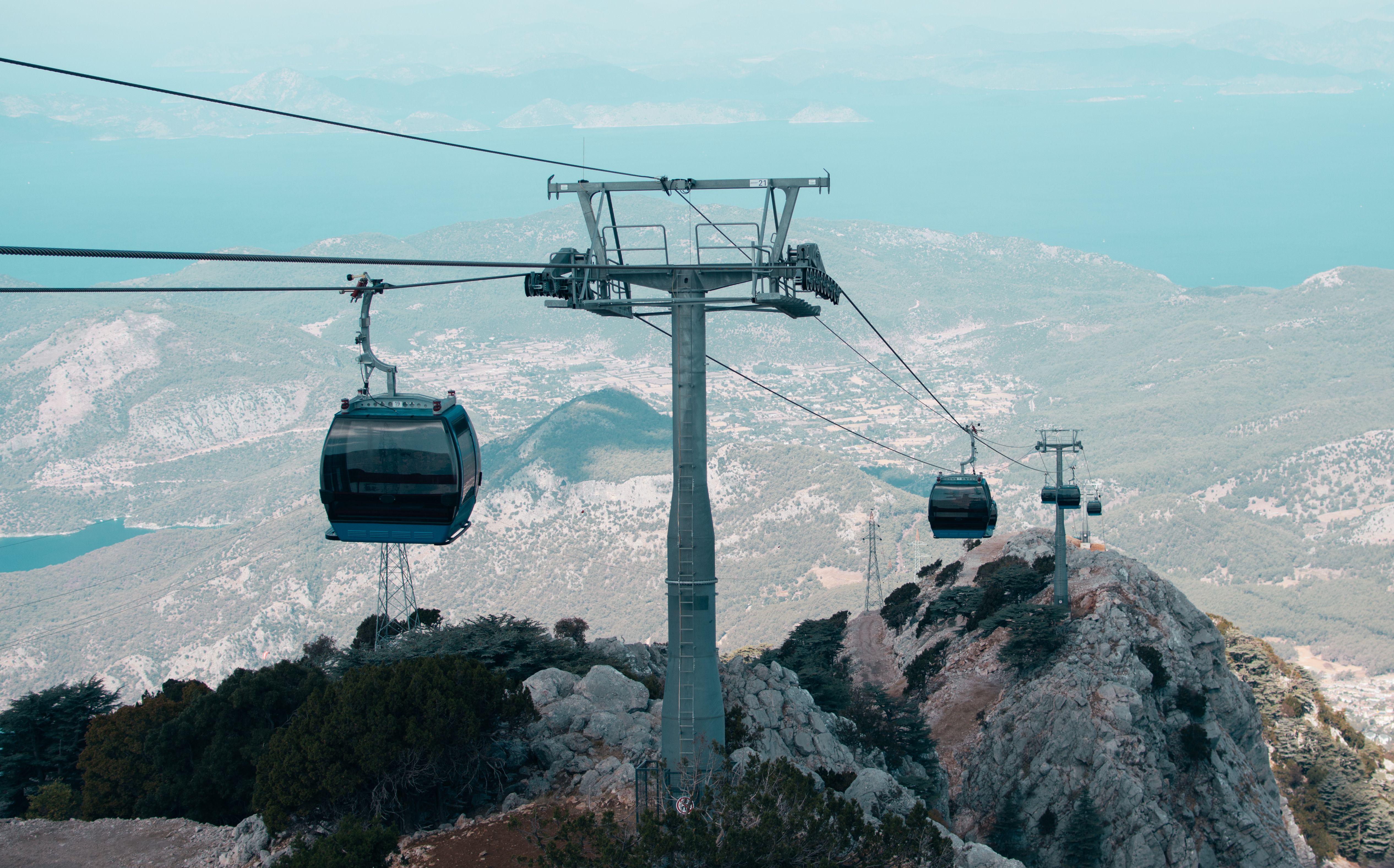
I stepped out of the Gornergrat cable car at 3,089 metres and immediately understood why people skip the actual Matterhorn climb altogether. The wind hit my face with the kind of cold that makes your sinuses ache, and spread before me was the Gorner Glacier—a vast, fractured sheet of ice that looked less like a natural feature and more like the earth’s skeleton laid bare. This is Matterhorn Glacier Paradise, and it’s the closest most visitors will ever get to understanding why this mountain commands such reverence.
The cable car system is genuinely Europe’s highest, topping out at 3,899 metres at the Klein Matterhorn station. What most guides won’t tell you: the real magic happens at the intermediate stops, not the summit. At Gornergrat (3,089m), you get unobstructed views of the Matterhorn’s north face without the tourist crush or the 45-minute wait at Klein Matterhorn. The journey itself costs 95 CHF return from Zermatt (roughly €100), and it’s worth every franc—the cable car climbs 2,000 vertical metres in about 40 minutes, and the engineering alone justifies the price.
There’s a critical misconception worth addressing: this is not a shortcut to climbing the Matterhorn. You’re observing it, not ascending it. That said, the 360-degree panorama from Klein Matterhorn includes the Monte Rosa massif, the Gran Paradiso, and on clear days, Mont Blanc. The viewing platform is genuinely stunning—though I’d skip the overpriced restaurant (a sandwich costs 28 CHF) and bring your own food.
One local custom I learned the hard way: Swiss cable cars run on strict schedules, and the last descent from Gornergrat is typically 17:00 in winter, 18:00 in summer. Miss it, and you’re looking at a two-hour hike down in fading light. I watched a family of four frantically scramble down the trail at dusk after miscalculating their time—don’t be that person. Start early, aim to be back at an intermediate station by mid-afternoon, and you’ll avoid the crowds and the panic.
Best Hiking Trails in Zermatt (For Non-Mountaineers)
I made the mistake of arriving in Zermatt expecting to either summit the Matterhorn or sit in a café. What I found instead was something better: trails that let you actually *live* in the mountain’s shadow without needing ropes, crampons, or a guide who costs 600 CHF per day. The moment I stepped onto the Hörnli Ridge trail (not the climbing route—the hiking path that runs parallel), I understood why locals treat these mid-altitude walks as seriously as tourists treat the peak itself.
The **Riffelalp to Rotenboden loop** is the one I’d do again tomorrow. It’s a 2-hour round trip from the Gornergrat railway station, gaining only 200 metres elevation, but it delivers unobstructed views of the Matterhorn’s north face that honestly rival what you get from the cable car—minus the crowds and the 80 CHF ticket. The path is well-maintained, clearly marked, and passes through alpine meadow that turns electric purple with lupine in July. Bring layers: I started in a t-shirt at 2,200 metres and was shivering by the turnaround.
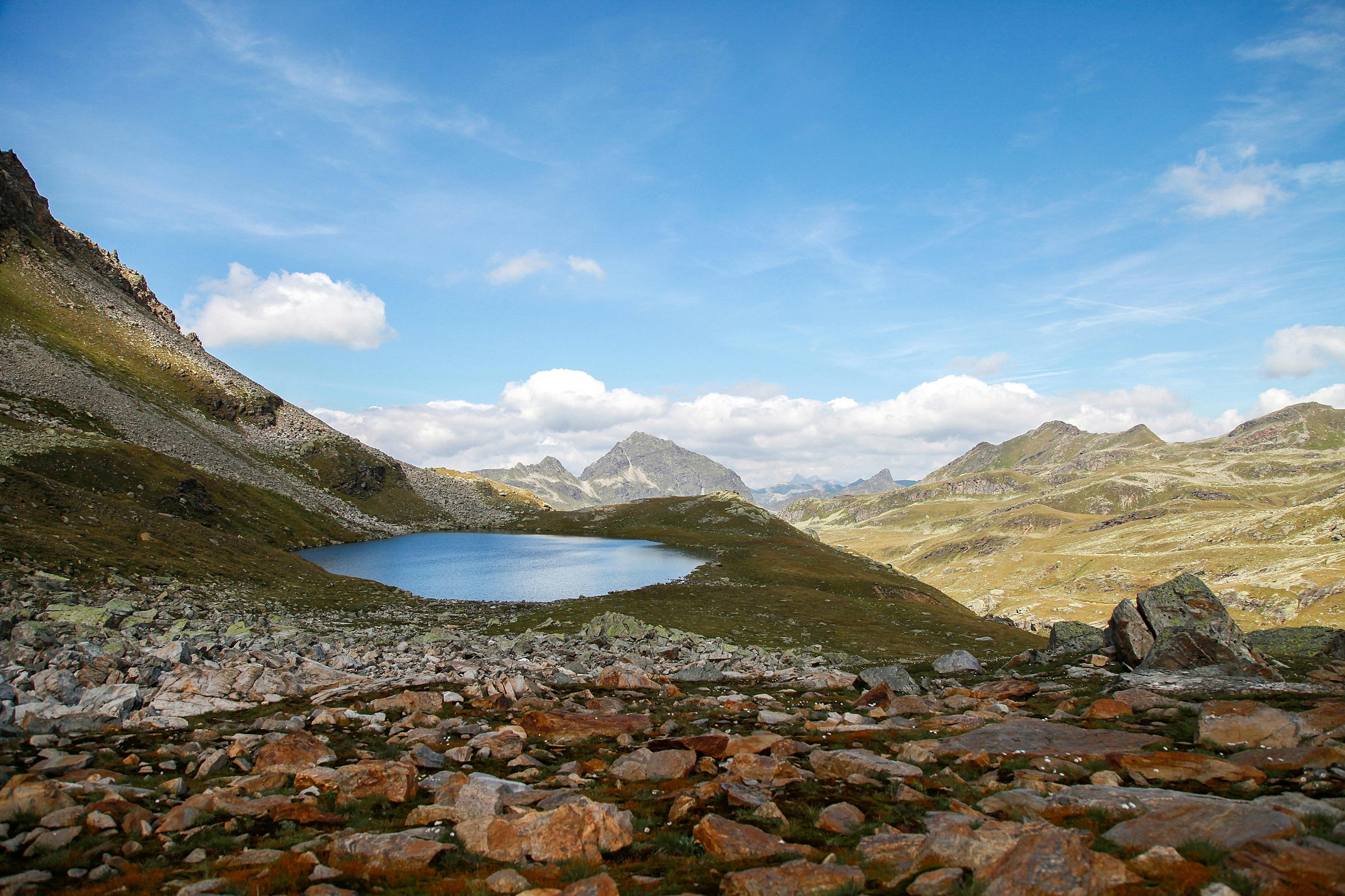
For something with more vertical, the **Zum See trail** (90 minutes up, 60 down) climbs to a glacial lake that sits directly beneath the Matterhorn’s south face. The hike costs nothing—it starts from the village—but the psychological payoff is enormous. You’re standing at 2,540 metres surrounded by rock and ice, and the mountain towers above you like it’s about to fall. It won’t, but the illusion is perfect.
**A critical mistake I see constantly**: people assume every Zermatt trail is “easy” because it’s Switzerland. Altitude hits differently when you’re not acclimatised. Start early (before 8 a.m.), carry 2 litres of water, and don’t push hard on your first day. The best time is July through early September—June still has snow on higher trails, and October brings sudden weather shifts that trap hikers. Accommodation runs 120–200 CHF for a simple guesthouse room; expect to spend 25–35 CHF on a restaurant meal, or grab supplies at the Co-op (13 CHF for a sandwich) and eat on the ridge.
How Tall Is the Matterhorn (And What That Means for Your Visit)
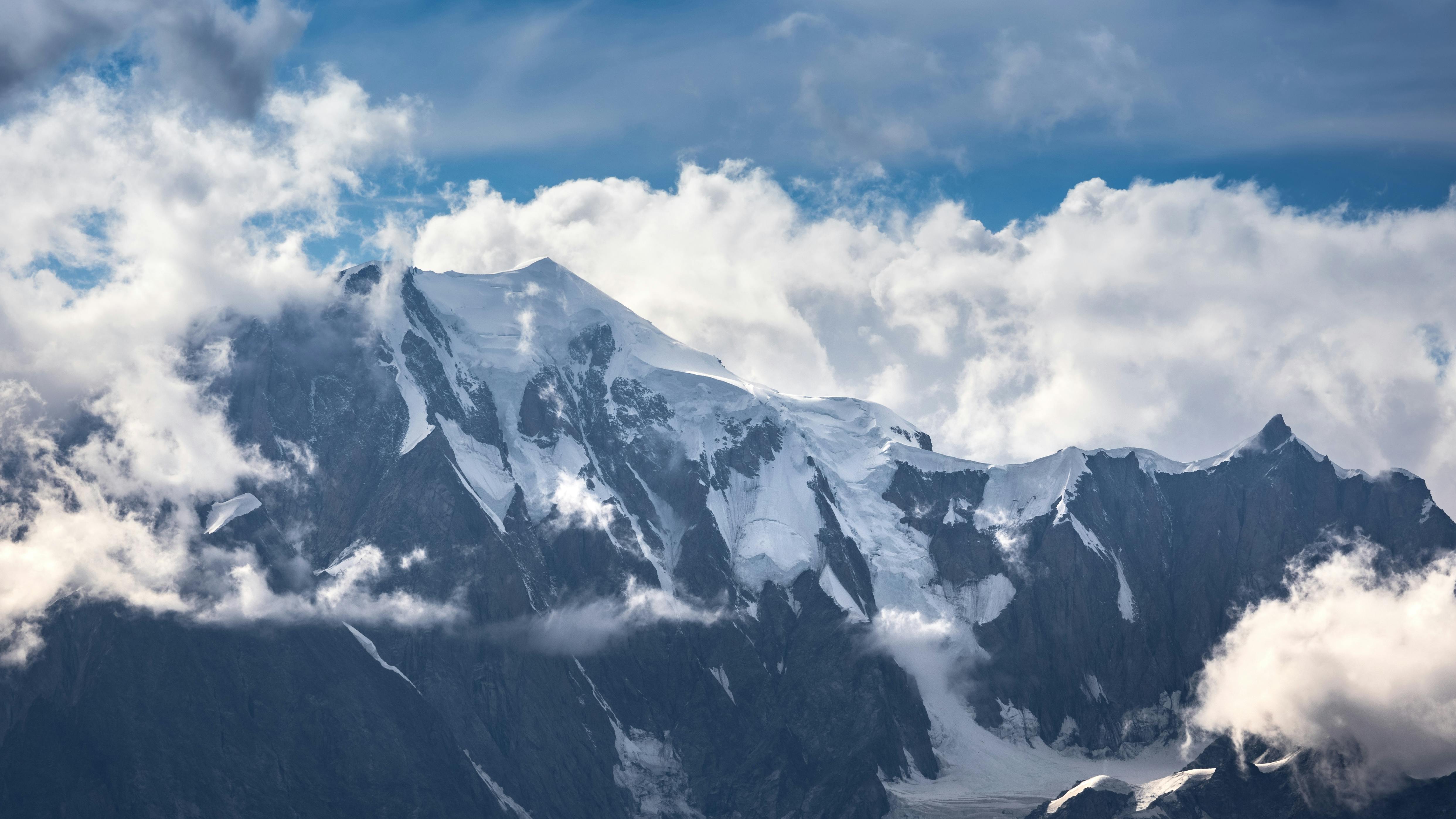
I stood at Gornergrat station at 3,089 metres, looking up at the Matterhorn’s summit still towering 1,911 metres above me, and felt genuinely small for the first time in years. The peak sits at 4,478 metres (14,692 feet)—not the Alps’ tallest mountain, but its most photogenic and, frankly, its most psychologically imposing. That height difference matters far more than the raw number.
Here’s what most guides won’t tell you: the Matterhorn’s altitude creates a specific physiological challenge that catches casual visitors off-guard. You don’t need climbing experience to *see* it from nearby viewpoints, but if you’re planning to hike above 3,500 metres or take the cable car all the way to Matterhorn Glacier Paradise (3,899m), altitude sickness becomes a genuine concern—not just for climbers. I met a fit 34-year-old from London at Hörnli Hut who’d underestimated the elevation gain and spent his evening with a pounding headache and nausea. The rule: spend at least one full day acclimatizing in Zermatt (1,620m) before ascending higher. If you’re arriving from sea level, two days is smarter.
The height also determines what’s actually accessible to you. Non-technical hikers can reach Hörnli Hut (3,260m) or Schönbiel Hut (2,694m) without ropes or climbing gear—these are genuine mountain huts with beds and hot meals, costing 120–180 CHF per night. But the summit itself? That requires mountaineering skills, a guide (mandatory; costs 800–1,200 CHF), and two days minimum. Most visitors don’t realize this until they’ve already booked their trip. The cable car to Matterhorn Glacier Paradise gets you to 3,899m in 45 minutes, but it’s not the summit—it’s a viewing platform and ski area, not a hiking destination.
Practically speaking: if you’re visiting in July or August, the higher elevations are snow-free and accessible. September through May, snow coverage increases significantly, and many trails close. The altitude means temperatures drop roughly 6.5°C per 1,000 metres gained, so pack layers even if Zermatt feels warm. And bring sunscreen—UV intensity increases with elevation, and I learned this the hard way with a burned scalp I still regret.
Matterhorn Map: Navigating Zermatt’s Lift System and Trail Network
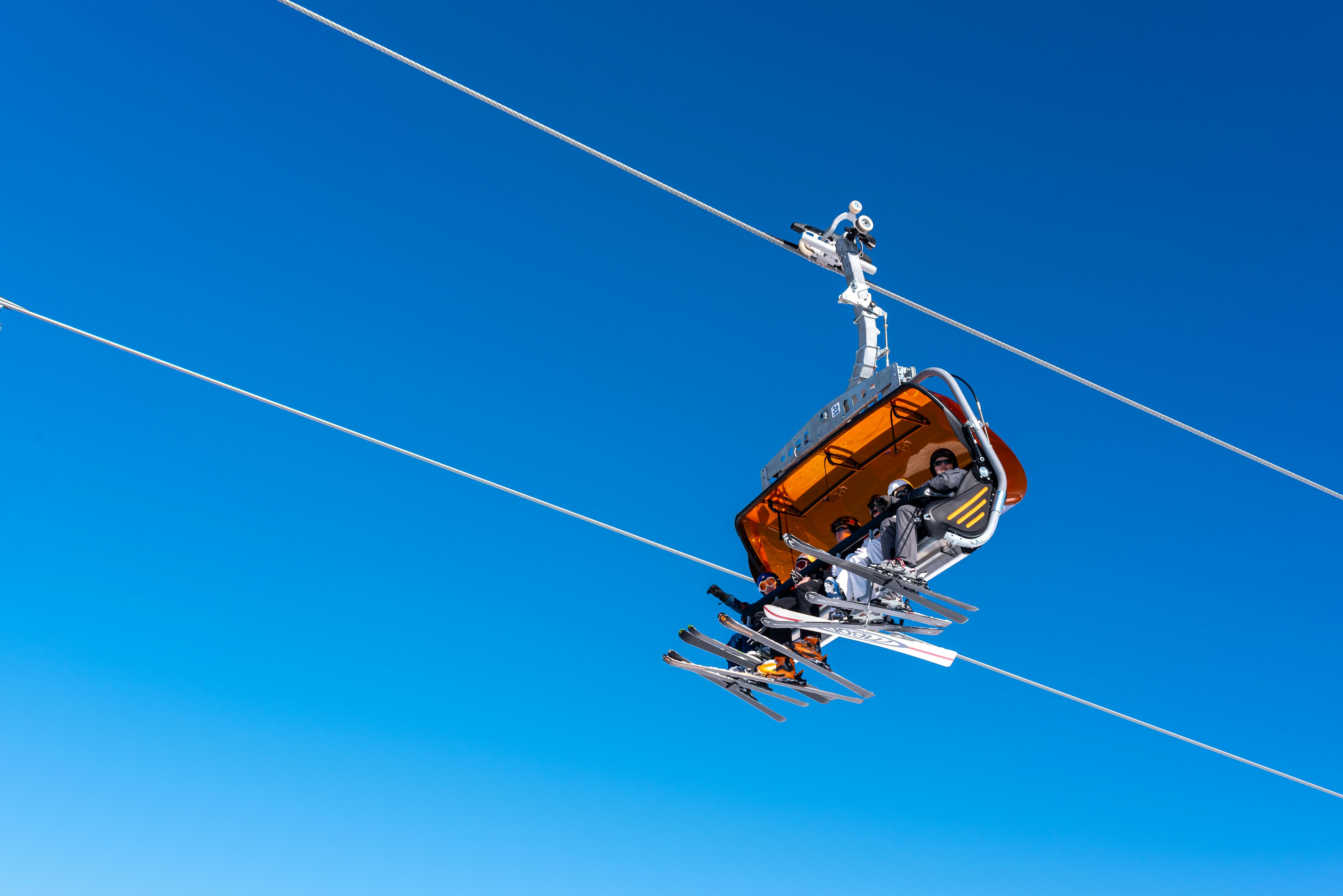
I stood at the Zermatt train station at 7:15 a.m., coffee in hand, staring at the lift map on the station wall—and I nearly went the wrong direction entirely. The village spreads in a way that makes intuitive sense only after you’ve walked it once, and the cable car network isn’t a single loop but a web of overlapping systems, each operated by different companies with different ticket structures. This matters because buying the wrong pass can cost you 40–60 CHF in wasted money.
Here’s what the tourist boards don’t emphasize: Zermatt has three separate lift systems. The Gornergrat Railway (cog train, not cable car) heads east toward Riffelberg and Gornergrat itself—stunning views, easier logistics. The Matterhorn Glacier Paradise system heads south and west, split between the Furi cable car and the Theodul Glacier lift. The Sunnegga Paradise system heads north. If you’re planning a full day of hiking, you need to know which system serves your chosen trail, because you can’t easily transfer between them without descending to the village and paying again. A round-trip on Gornergrat costs 54 CHF; Glacier Paradise is 60 CHF. Day passes that cover all three systems run 85–95 CHF depending on season.
The real hack: buy your tickets at the station, not at the cable car terminals themselves—you’ll save 5–8% and avoid queues. Peak season (July–August) sees 45-minute waits at the Furi base station by 9 a.m. I learned this by arriving at 8:50 a.m. on a Friday in mid-July and watching a queue of 200 people form in front of me within 20 minutes. Get there by 8 a.m., or wait until 4 p.m. when day-trippers head back down.
One cultural note: Zermatt is car-free—only electric taxis and horse-drawn carriages operate in the village. This means the lift system is genuinely the only way up, and locals treat it with the efficiency of a subway. Don’t block the queues or dawdle on the platforms. You’ll notice Swiss hikers move with purpose; respect that rhythm and you’ll fit right in.
Eiger to Matterhorn Hiking: Multi-Day Alpine Adventures
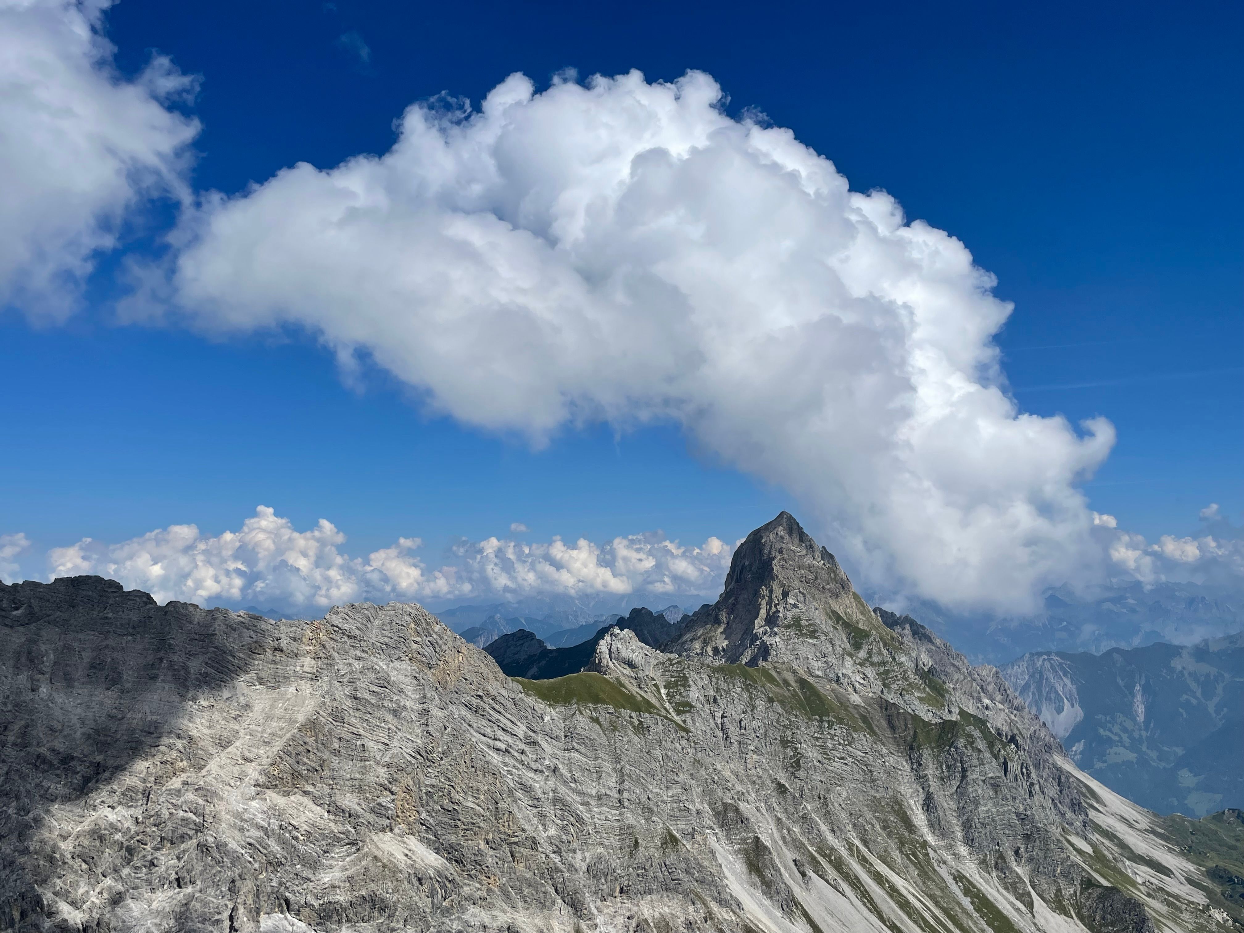
I watched the sunrise from Eigergletscher at 2,320 metres, my legs already tired on day one, knowing I still had three days of high-altitude hiking ahead before I’d reach the Matterhorn. The Eiger-to-Matterhorn traverse isn’t a single marked trail—it’s a serious multi-day expedition that strings together the Bernese Oberland and Valais Alps, and it demands respect. Most people never attempt it because they assume you need to be a climber. You don’t. You need fitness, acclimatization, and the willingness to stay in mountain huts where hot water is a luxury.
The classic route takes four to five days, starting from Grindelwald or Interlaken and finishing in Zermatt. You’ll ascend to Eigergletscher, traverse toward Jungfraujoch (the “Top of Europe”), then descend into the Lötschental valley—a stunningly remote gorge that most Matterhorn visitors never see. From there, you climb back up toward the Forclaz de Loze and eventually reach Zermatt. The hiking itself is non-technical; no ropes or climbing gear required. But the altitude, variable weather, and remote terrain mean you’re genuinely exposed. I encountered a sudden snowstorm in August at 2,800 metres that cut visibility to ten metres. Plan for this possibility.
Book mountain huts (called “berghotels” or “hütte”) at least two weeks ahead—they fill fast in July and August, and some are booked solid by June. Expect to pay 80–120 CHF per night for a dorm bed and 140–200 CHF for a private room with dinner included. Most huts serve a hearty dinner (included) and breakfast (included), so you’re only buying lunch supplies and snacks in villages. Budget roughly 3,500–4,500 CHF total (accommodation, food, transport) for the full traverse if you’re moving at a reasonable pace and not hiring a guide. A guide costs 300–500 CHF per day and is honestly worthwhile if you’re unfamiliar with high-altitude navigation or want route-finding expertise.
One critical detail: the Lötschental section has almost no marked trails in some sections. Download offline maps (Swiss topo maps are essential—buy them beforehand) and a GPS app. I’ve seen confident hikers get disoriented in this valley because they relied solely on cairns. Start in June or early September if possible; July and August bring crowds and unpredictable afternoon thunderstorms at altitude. The traverse rewards patience and preparation with solitude and views that cable cars simply cannot deliver.
CONCLUSION: Your Matterhorn Action Plan
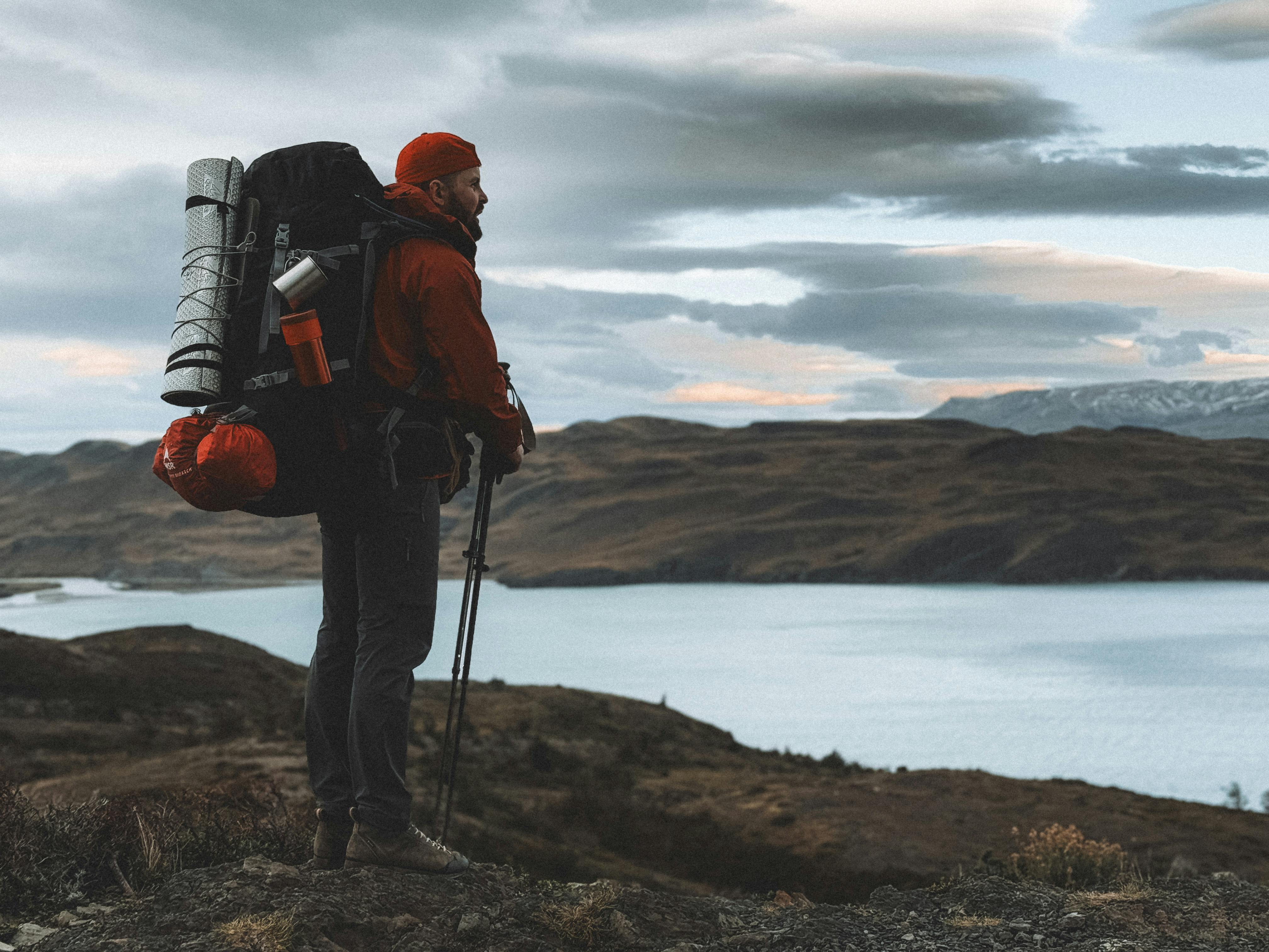
I stood at Gornergrat station at 6:47 a.m.—deliberately early, deliberately alone—watching the Matterhorn emerge from the pre-dawn mist like a photograph developing in real time. That’s when it hit me: this mountain doesn’t care how you experience it. The climber summiting at dawn, the cable car tourist sipping coffee at Matterhorn Glacier Paradise, the day-hiker tackling Hörnli Ridge’s lower sections, the multi-day trekker crossing from the Eiger—we’re all having legitimate encounters with the same impossible peak. Your Matterhorn isn’t wrong because it’s different from someone else’s.
So here’s what matters: Pick your season (June to September for hiking; July-August for crowds and reliability; May or September for solitude and risk). Pick your approach—the cable cars and viewing platforms demand zero fitness and cost CHF 90–150 return; the day hikes require actual legs and mountain sense; the climb demands rope skills, acclimatization, and a guide (CHF 1,200–1,600 minimum). There is no hierarchy here, only honesty about what you want and what you can do safely.
One thing I wish I’d known earlier: Zermatt’s lift system is labyrinthine until you spend 30 minutes with the free map at the tourist office (Bahnhofstrasse 5). Buy a Zermatt Peak Pass if you’re staying 3+ nights—it saves CHF 40–80 and includes train access. Budget CHF 25–40 for lunch on any mountain platform; bring snacks from the Co-op in town (CHF 6–12). Bring more water than you think you need. Wear sunscreen obsessively; the reflection off the glaciers burns differently than you expect.
Your next step: Book accommodation in Zermatt now—even for six months out, mid-range guesthouses (CHF 120–180 per night) fill up. Then, before you book any cable car or hire any guide, sit down with the Matterhorn Gotthard Bahn website and your own fitness level. Be brutally honest. Choose one primary activity—not five. Do that one thing properly. The mountain will still be there if you come back.